

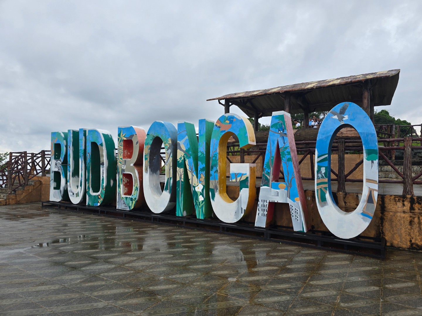
Prominently dominating the skyline of the island municipality of Bongao and nearby towns, Bud Bongao has been considered a sacred mountain by the Sama–Dilaut even before the arrival of Sheikh Karimul Makhdum in Tawi–Tawi. Considered as a healing mountain, believers would brave the dense mountain forest, blots of gloom and moist slopes in order to pray at the peak, believing that it would alleviate the distress that they were suffering from. They would also tie knots along the way in order to mark their path, but the practice of tying the baggut has evolved as a ritual when saying prayers and making wishes.
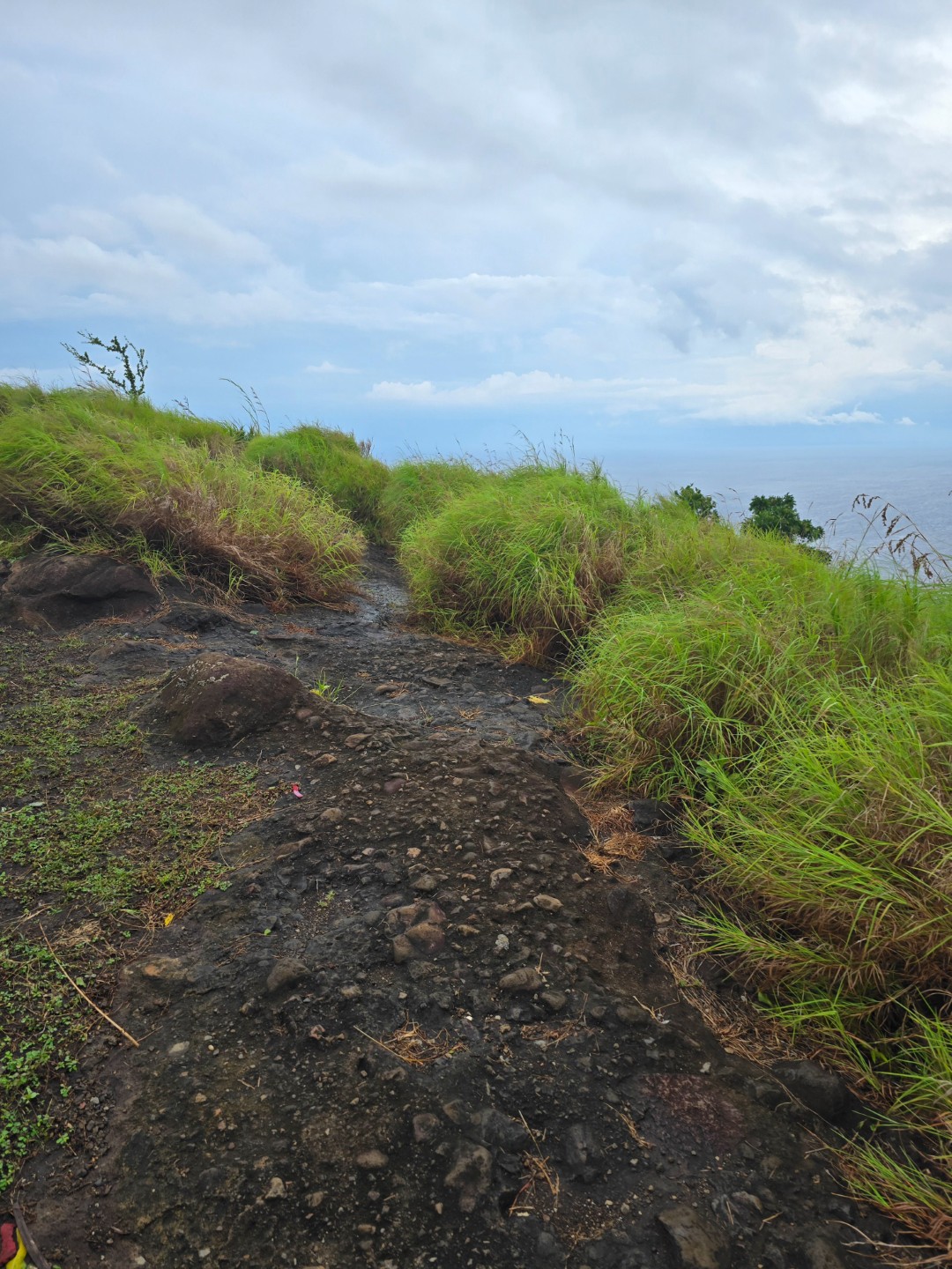
Thankfully, the trail to the peak of the mountain has already been paved with concrete and cobblestone. It is still not straightforward though and not without challenges. As one of the last moist forests in the Sulu archipelago, the trail is oftentimes slippery with the accumulation of moss. Cognizant of such potential challenge especially that rain has been dousing the islands since we arrived, we moved early and fast. Add the pressure of having our flight out of Tawi–Tawi at 01:00 PM later in the day and we knew we needed to do it right and quick.
True enough, when we left for Bud Bongao at 06:00 AM, there was a heavy downpour. We had to wait a little inside our service vehicle to let the rainfall soften a little before proceeding to the registration office.


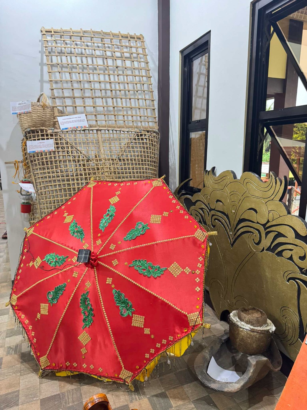
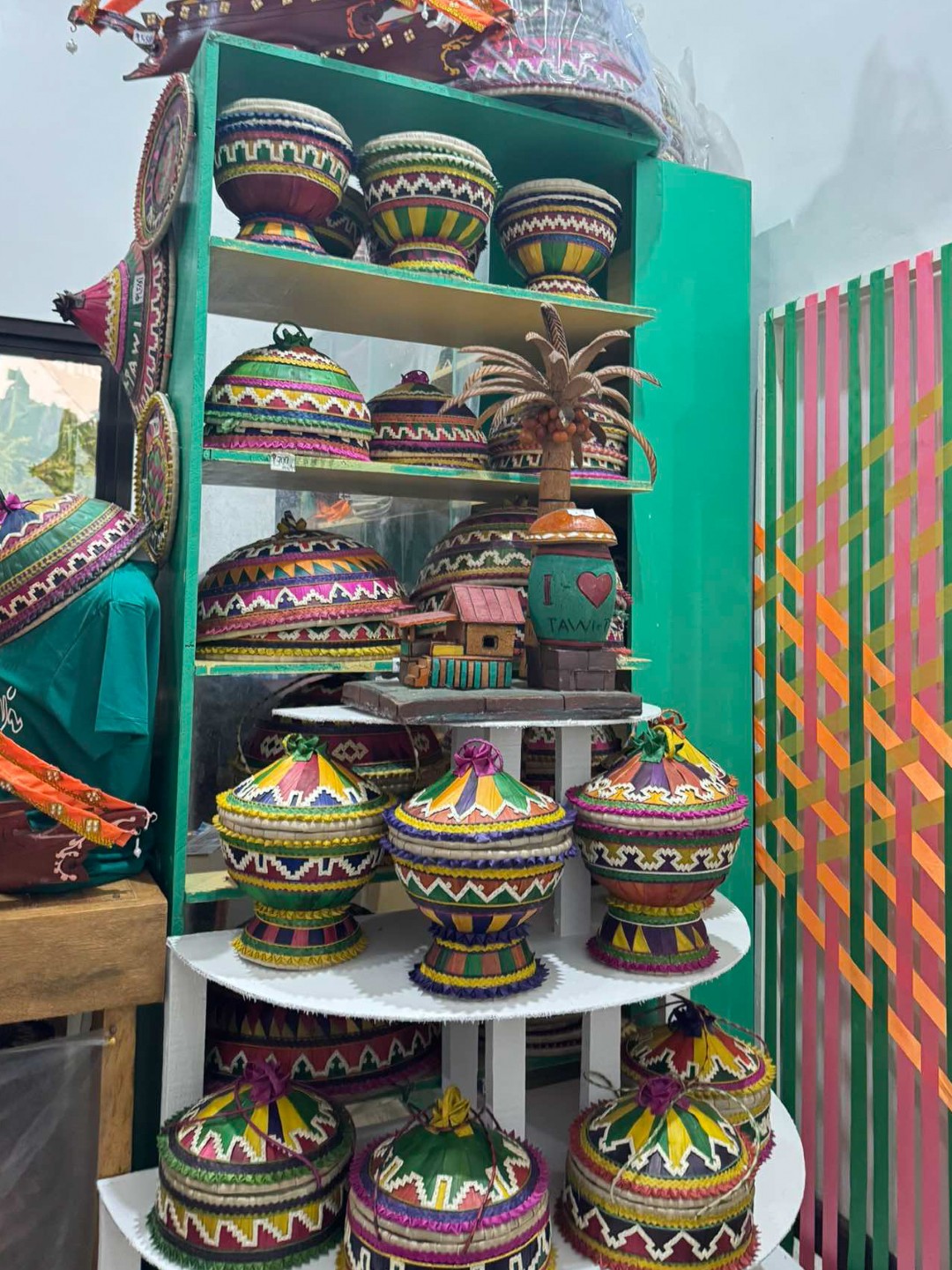
Items on display inside the registration office.
The rain was almost over when we finished our registration, but the skies remained gloomy, with the sun seemingly trying its best to pierce through the thick, dark clouds. Unfortunately or fortunately, the sun was not able to show its might, hence we trekked with the gloomy weather above our heads but without what would otherwise have been scorching heat.


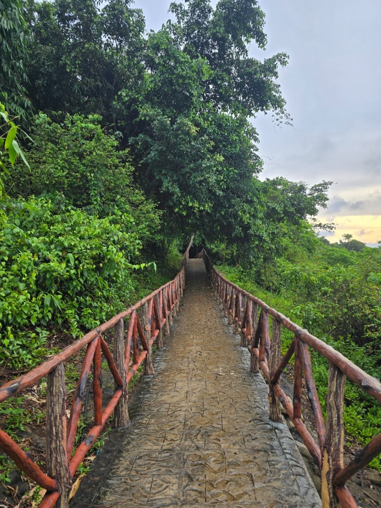
The start of the trail to the peak of Bud Bongao.
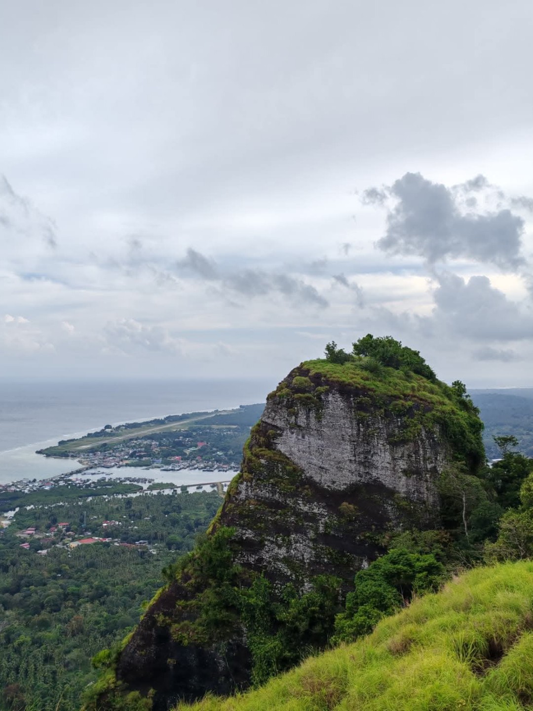
Dubbed as the highest peak of Tawi–Tawi and considered as the southernmost peak of the Philippines, Bud Bongao is known as the mountain with six peaks owing to the six limestone pillars that make up its composition. The six peaks are named either after the locations where they are or the island that which they offer a good view of: Bongao, Pajar, Simunul, Tambisan, Tinondakan and its summit, Sibutu. Bud Bongao is not really that high at a modest height of 342 meters above sea level at its highest point. Despite its relatively low height though, one has to surpass the challenge of doing around 3,600 ascending steps to reach the top, and repeat the number of steps on the way down. An average hiker would take that with relative ease, but those who live a rather sedentary lifestyle might need some help from stretching and a little exercise.
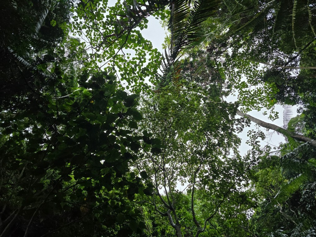
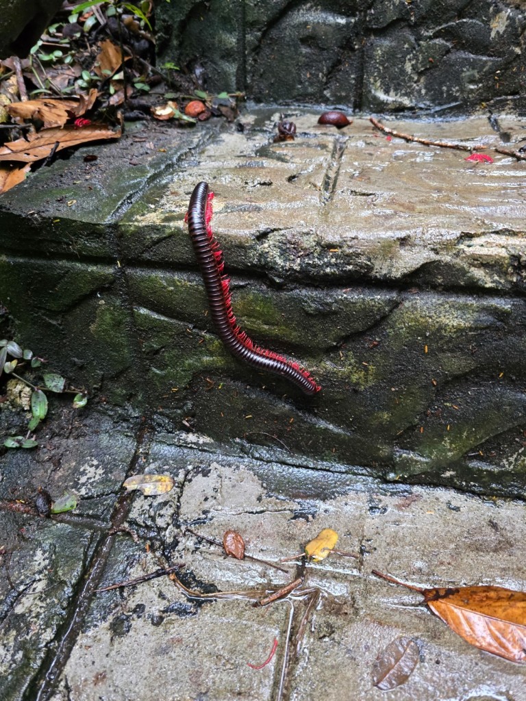
As expected, the trail was slippery for most parts. There was still some light rain shower when we began our ascent, and the trees would shake off the excess water from their leaves whenever the wind blew. It was hence a wet hike, living up with Bud Bongao being a moist forest. Along the way, nonetheless, one cannot help but appreciate the verdure, the outcrop and the fauna that abounds the place.


Different scenes at the beginning of the trail.
Apart from the natural features of the mountain that one’s eyes can feast upon on the way to the top, there were also signages put up along the trail. Some signages were very informative, while others were just outright teasing.
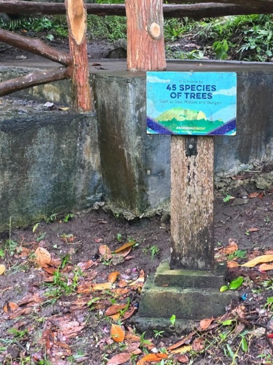


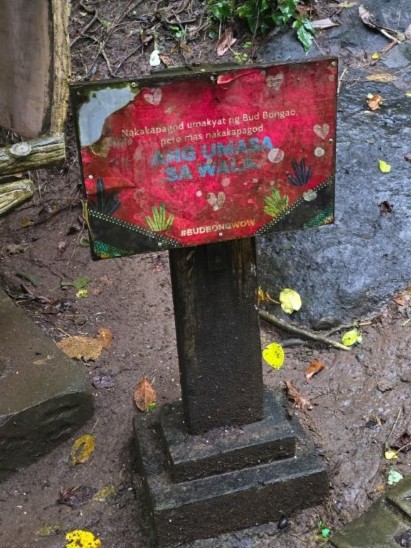


Signages along the trail either provide information or comic relief.
I lost track of time as to how long it took before we were out from the dappled canopy of trees. When we reached the clearing, we had our first encounter with the recognized guardians of Bud Bongao and were welcomed by a troop of monkeys. We were told that visitors would usually offer some pieces of food to the monkeys that is why they are used to humans and would even come close. Sadly though, we did not bring any food to offer.
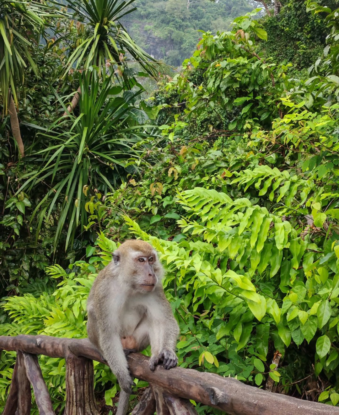
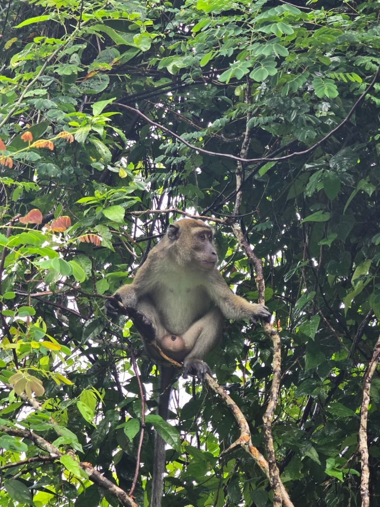


The native residents and guardians of Bud Bongao, the long-tailed macaques.
We continued on our trek past the troop and stopped to appreciate the view of the town of Bongao and of Celebes Sea below. The sky was still gloomy but the scene from the top was no less than breathtaking.


We were back under the canopy of trees after a short while, and it was then when we saw one of the landmarks that further enhances the sacred character of Bud Bongao.
When Sheikh Makhdum introduced Islam to the islands in 1380, converts to the new religion did not abandon their view of the sanctity of the mountain, and the spiritual significance of Bud Bongao all the more became pronounced when one of the followers of Sheikh Makhdum who helped in the propagation of Islam in Tawi–Tawi was buried on one of the peaks of the mountain, hence the presence of a tampat or shrine. There are actually two of such shrines in the mountain, the other one said to belong to a local princess or Dayang–Dayang. Unfortunately, no one can tell for sure. Muslims are buried with no gravestones or epitaphs, as the glorification of the deceased is considered shirk.


The tampat, with our guide Kuya Ben giving us some history.
Not too far from the tampat stands the designated area for the baggut. The numerous prayers and wishes associated with the knots were evident, as the tying area has already become an abstract creation of colorful strings, presumably coming from different people from all walks of life. The strings of different colors, knotted with hope that supplications will be heard and answered by the Divine, is a telltale of the significance of the mountain to the people of Tawi–Tawi and to those who visit it.
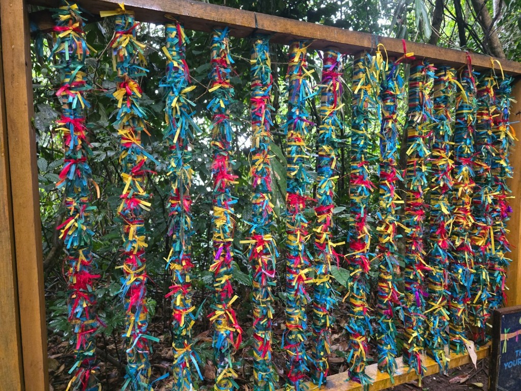
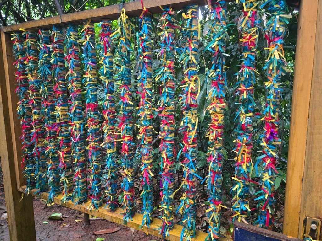


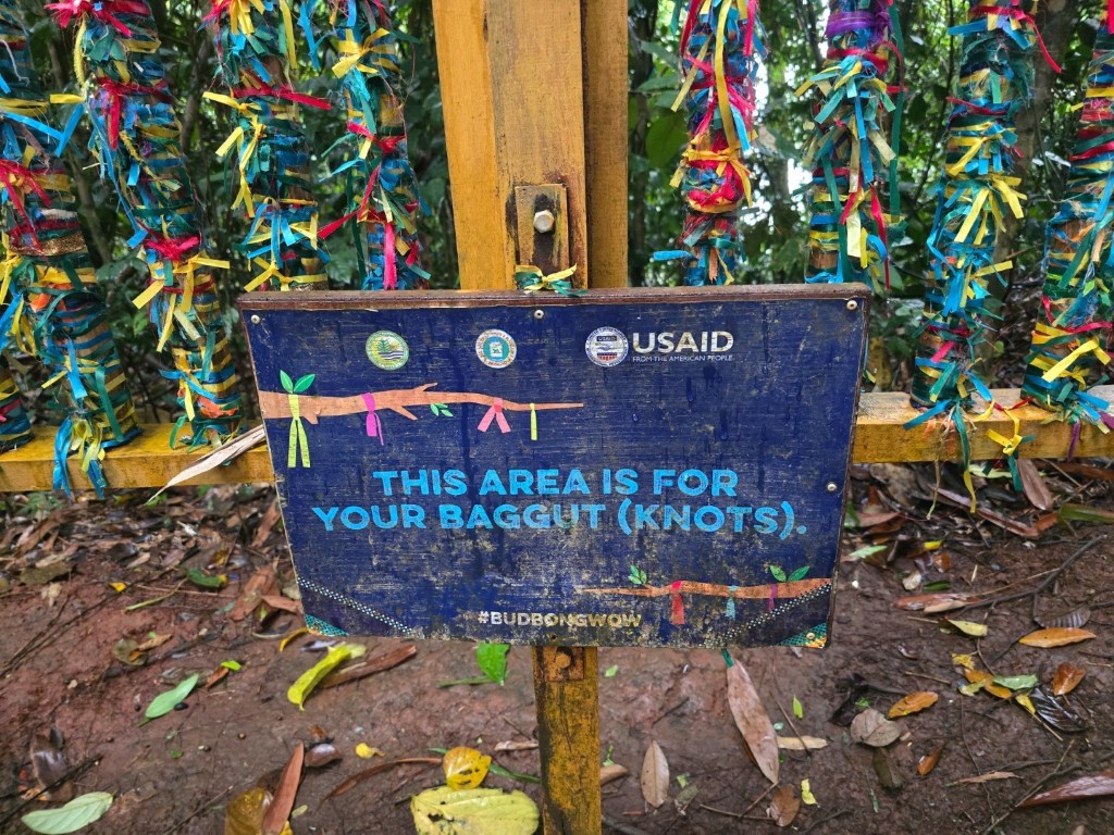

The designated area for tying the baggut.
We continued walking towards the view deck located at the Tambisan Peak of the mountain. On our way there, we saw the famed molave tree which is another landmark of Bud Bongao, as it is reported to be the largest of its kind in the Philippines.


The largest molave tree in the Philippines as assessed in 2012.
Just a few more steps along the trail and we finally reached the Tambisan Peak view deck. The peak was named after the Tambisan Island in Sabah, Malaysia, and was named as such because during clear days, the island can be seen from the peak across the Celebes Sea. It is the third highest peak of Bud Bongao at 317 meters above sea level.


View of Tinondakan Peak from Tambisan Peak.


Sceneries from the Tambisan view deck.
It was drizzling when we got to the view deck, hence the view of Tambisan Island in Sabah, Malaysia was obscured. It wasn’t the only thing we got there for anyway. Apart from the view that was still spectacular despite the gloomy dark clouds, being one with nature within the embrace of the lush forest of Bud Bongao and being spiritually attuned with the sacredness it holds are experiences worth conquering the heights.
Soon enough it was time to go. As the trail was still wet due to the continuous rainfall, going down proved to be extra challenging. We all did it safe and sound, nonetheless.


A farewell look at the wet, slippery trail and a family of macaques chilling on an outcrop.
It took us around two hours to complete the out-and-back trail of Bud Bongao. Now that we have done it, I could no longer think of any better way to cap our travel to Tawi–Tawi. Bud Bongao is not just a mountain to climb, but an encounter to experience.
The entire group rallied at the registration office at the foot of the mountain and prepared to head back to our accommodation in Bongao. From there, we would board our flight back to Zamboanga City. Of course we would want to be punctual for our flight, but there was an inner sense speaking, probably from Bud Bongao itself, that softly whispers if we can stay a little longer more.
We cannot stay, but we can return. God willing, we will.


Leave a comment